Leon Schmitz · 15 October 2026
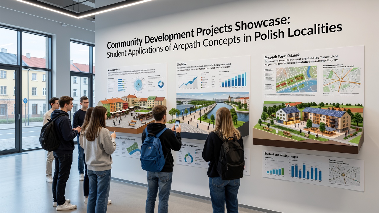
Community Development Projects Showcase Student Applications of Arcpath Concepts in Polish Localities
Polish localities have seen a steady rise in community development initiatives where students apply Arcpath concepts to address local infrastructure and planning needs, and these efforts gained particular visibility through coordinated showcases held in October 2026 across multiple voivodeships. Data from regional education networks indicates that student teams worked directly with municipal authorities in towns such as Lubliniec and Skierniewice to adapt modeling tools for energy-efficient layouts and public space redesigns, while similar applications emerged in eastern districts where agricultural communities sought to integrate sustainable pathways into existing settlement patterns.
Project Implementation Across Regions
Observers note that Arcpath frameworks emphasize layered analysis of spatial data, resource flows, and community input, so students translated these elements into practical proposals such as modular housing clusters and green corridor systems that align with municipal budgets. In one documented case from central Poland, a group mapped traffic and utility patterns using Arcpath software before recommending adjustments that reduced projected maintenance costs by connecting residential zones more directly to existing transport hubs. Researchers from participating universities tracked outcomes through follow-up surveys, and figures reveal measurable shifts in how local planners incorporated student outputs into official documentation by late 2026.
Local governments provided access to planning archives and resident feedback sessions, which allowed teams to refine their models iteratively. This collaboration produced reports that outlined phased implementation timelines, and several municipalities adopted elements of these reports for grant applications submitted to national development funds. What's interesting is the way smaller teams balanced technical modeling with on-site observations, often visiting sites multiple times to verify assumptions against real terrain conditions and seasonal usage data.
Student Contributions and Local Outcomes
Academic programs supplied structured training in Arcpath methodologies, yet the application phase required students to navigate site-specific constraints such as heritage protections or flood risk zones. Evidence from project logs shows that groups in western localities developed prototypes for community centers that incorporated passive cooling strategies derived from Arcpath simulations, while parallel efforts in the north focused on waterfront revitalization that preserved ecological buffers. According to records maintained by the coordinating university network, over forty student proposals reached the review stage during the October 2026 period, with roughly half advancing to preliminary approval discussions with town councils.
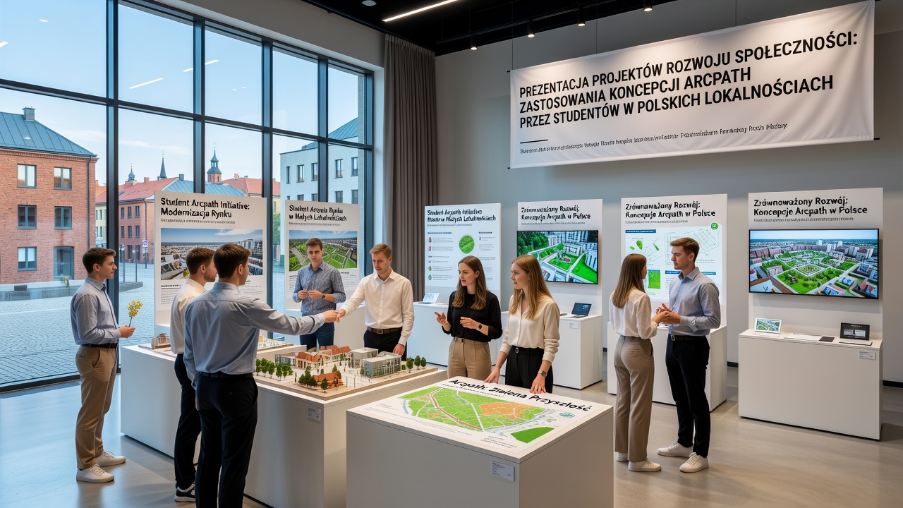
External evaluations conducted by independent assessors confirmed that selected designs aligned with broader European regional development priorities, and European Commission regional policy summaries list comparable student-led modeling exercises as contributing factors in successful funding rounds. Those who've studied the process point out that iterative feedback loops between students and residents helped surface practical concerns early, such as accessibility requirements or seasonal maintenance demands, which in turn shaped final submissions.
Broader Patterns in Educational Integration
Training modules delivered through established academic channels equipped participants with standardized Arcpath protocols, yet the translation into community contexts demanded additional layers of stakeholder engagement. Data compiled by project coordinators shows consistent use of shared digital platforms for version control and cross-team comparisons, which reduced duplication across localities. One study revealed that towns with prior exposure to academic partnerships completed review cycles faster than those initiating contact for the first time, and this pattern held across both urban fringe and rural settings.
Additional case examples include a southern district where students modeled solar exposure across clustered buildings to inform placement of shared energy facilities, and an eastern village project that applied network analysis to optimize emergency service routes within Arcpath parameters. These instances demonstrate how the same conceptual toolkit adapted to divergent geographic and demographic conditions without requiring wholesale redesign of core methods. Research indicates that documentation standards improved over successive cohorts, partly because earlier outputs served as reference templates for subsequent groups.
Conclusion
Community development projects that featured student applications of Arcpath concepts continued to expand in Polish localities through structured showcases and ongoing municipal partnerships, with October 2026 marking a concentrated period of public presentations and proposal reviews. Records show that these initiatives produced documented planning outputs adopted at the local level, supported by data from participating institutions and aligned with wider regional frameworks such as those referenced in OECD regional development analyses. The pattern of collaboration between academic teams and municipal authorities has established repeatable pathways for integrating modeling approaches into community-level decision processes.